All natural hydrocarbons are derived from the decomposition of organic matter. The objective in petroleum exploration is to identify petroleum traps; petroleum exploration is therefore primarily a geological problem that requires specialized knowledge and techniques. There is no direct method that shows the presence of petroleum underground.
Kros Geo provides services across hydrocarbon exploration and development projects — from geological fieldwork to seismic acquisition, processing and interpretation.
High-Resolution 2D Seismic Data Acquisition
Reflection seismic methods provide high-resolution imaging of subsurface geological structures and are particularly effective for identifying geological interfaces, faults, and structural features. Compared with potential-field methods, seismic reflection provides a more direct and detailed representation of subsurface geometry.
The method is widely used in hydrocarbon exploration and has also become increasingly important in geothermal exploration, particularly in the Aegean Region. It is also applied in coal-field investigations to identify fault displacements, structural continuity, and potential gas-bearing zones within coal-bearing sequences.
Applications: oil and natural gas exploration; coal and coalbed methane exploration; engineering investigations of seabed and sedimentary conditions for coastal structures; bedrock characterization for ports, highways, dams, and major infrastructure projects; geothermal resource exploration and archaeological investigations.
Seismic Data Processing
With more than 30 years of experience in geophysical exploration, Kros Geo processes seismic data using specialized industry-standard software and established processing workflows. Our processing approach is designed to enhance data quality, improve subsurface imaging, and produce reliable datasets suitable for detailed geological and geophysical interpretation.
2D and 3D Seismic Interpretation
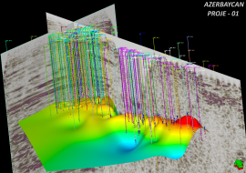
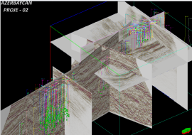
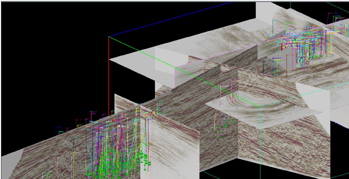
We identify and characterize geological interfaces, stratigraphic units, faults, and fractures. Our interpretation workflow includes the identification of seismic anomalies such as bright spots and dim spots, structural and stratigraphic analysis, reservoir characterization, and the preparation of time- and depth-based maps for target horizons. The results support prospect evaluation, subsurface modeling, and the identification of potential drilling locations.
Integrated Geophysical Interpretation
By combining different geophysical methods and integrating their results with geological information, we aim to reduce interpretation uncertainty, improve the reliability of exploration results, and provide a more robust basis for project decisions.
Field Scouting and Geophysical Survey Design
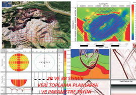
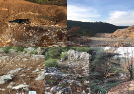
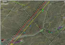
Prior to data acquisition, we assess site conditions, accessibility, terrain, environmental constraints, and other field-related factors that may affect survey operations. Identifying potential challenges at an early stage helps minimize operational delays and avoid unnecessary costs.
Seismic Quality Control
We provide independent seismic quality control on behalf of project owners and clients: monitoring field operations, reviewing acquisition procedures and data quality, identifying potential operational issues, and recommending corrective actions when necessary.
Field Permits and Crop Damage
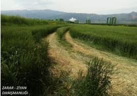
Before large-scale geophysical exploration projects begin, we coordinate with relevant local authorities and stakeholders to obtain the required permits, approvals, and notifications. As surveys are often conducted in rural and agricultural areas, we also document field-related damage, maintain detailed records, and prepare the documentation needed for damage assessment and compensation processes.