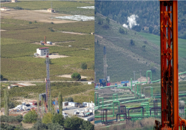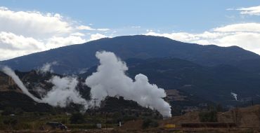
Geothermal energy is the heat energy transported to the surface in the form of hot water, steam, and gases, which contains dissolved minerals, various salts, and gases and has temperatures higher than the regional average atmospheric temperature. This heat energy is generated by the accumulated heat and pressure at various depths in the Earth's crust.
Its main uses are electricity generation, heat applications such as greenhouses and product drying, and thermal tourism and health purposes.
Geological Field Mapping
Geological field mapping provides the fundamental framework for identifying lithological units, structural features, alteration zones, and other geological characteristics relevant to geothermal exploration.
Soil Gas Measurements
Soil gas measurements, including CO2 and radon (Rn), can be used as complementary indicators in geothermal exploration studies.
Well Correlation and Geological Modeling
We provide well correlation and geological modeling services by integrating and interpreting well data obtained from drilling activities.
Remote Sensing and Satellite Imagery Analysis
Identification of fault lines, geological formations, and alteration zones; analysis of bedding attitudes, fold axes, and fault displacements; slope analysis, tectonic and lithological mapping, drainage network mapping; identification of volcanic domes, lava flows, and calderas.
Gravity and Magnetic Surveys
Gravity surveys characterize geothermal areas based on subsurface density variations and can be used to investigate the geometry of deeper geological units; they are particularly useful in areas affected by hydrothermal alteration.
In geothermal areas associated with volcanic activity, magnetic surveys investigate the distribution and depth of magnetically susceptible units and help identify areas where magnetization has been reduced by alteration and thermal activity.
Vertical Electrical Sounding (VES)
The electrical resistivity method is based on injecting a known current into the ground through a surface electrode array and measuring the resulting potential difference. VES is used to investigate the vertical variation of subsurface resistivity and to support the interpretation of geological and hydrogeological conditions.
Magnetotelluric (MT)
The MT method investigates geological structures, fault systems, and zones with significant conductivity contrasts. It is particularly effective in identifying low-resistivity anomalies and can be used to investigate deep subsurface structures.